Enel X uses satellites to enhance street lighting
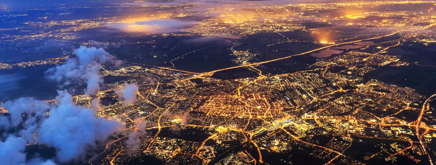
How many local councils know exactly how many streetlights they have, where they are, and which ones are not working? It turns out that surprisingly few have that information to hand. At Enel X we are working to fix that, using Artificial Intelligence and satellite technology to come up with the answers required to ensure city streets remain properly lit. The project is called “ AI & Satellite 4 Public Lighting” and it aims to evaluate the accuracy with which the new method sets out the exact location of lighting poles, how well it performs in distinguishing a lighting pole from another light source, and how well it measures the intensity of the light emitted. This is an innovative use of the latest technology to improve city living.
Enel X uses satellites to enhance street lighting
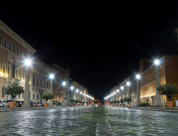
Traditionally, the information was obtained manually. That involved sending workers out into the area at night to count the number of lights and note down whether they were in working order. An alternative is to drive around in a vehicle fitted with the sort of 360-degree video camera computer map makers use. We estimate that we can do the job using cutting-edge techniques in a fraction of the time – just 10% -- taken for a manual census. It is safer because no human is in the field working at nighttime rates. That all adds up to lower costs for the customer – we estimate a saving of about 40% over a manual census with better results. Moreover, the technique shows districts where dense populations coincide with dim lighting, offering an opportunity for us to help with improvements. That might call for greater density of lighting poles, and our analysis will help decide where to put them, or simply for brighter, more efficient lighting.
Using models, algorithms
Together with our partner, a small Rome-based company that specializes in the analysis of satellite images, we are developing models and algorithms that will show us how well city lighting systems are working. In short, Enel X is shedding light on the gloom. Our partner brought expertise on satellite image recognition while Enel X provided lighting poles data and know-how, as well as the business model to apply this technology in the most efficient way. The technique has been demonstrated in three different scenarios: in Chile, Spain and Italy. The solution has been released and Enel X now applies it globally.

